The red zones on the map represent geozones, such as:
- Publicly approved/military airfields
- Medical helicopter platforms (HEMS)
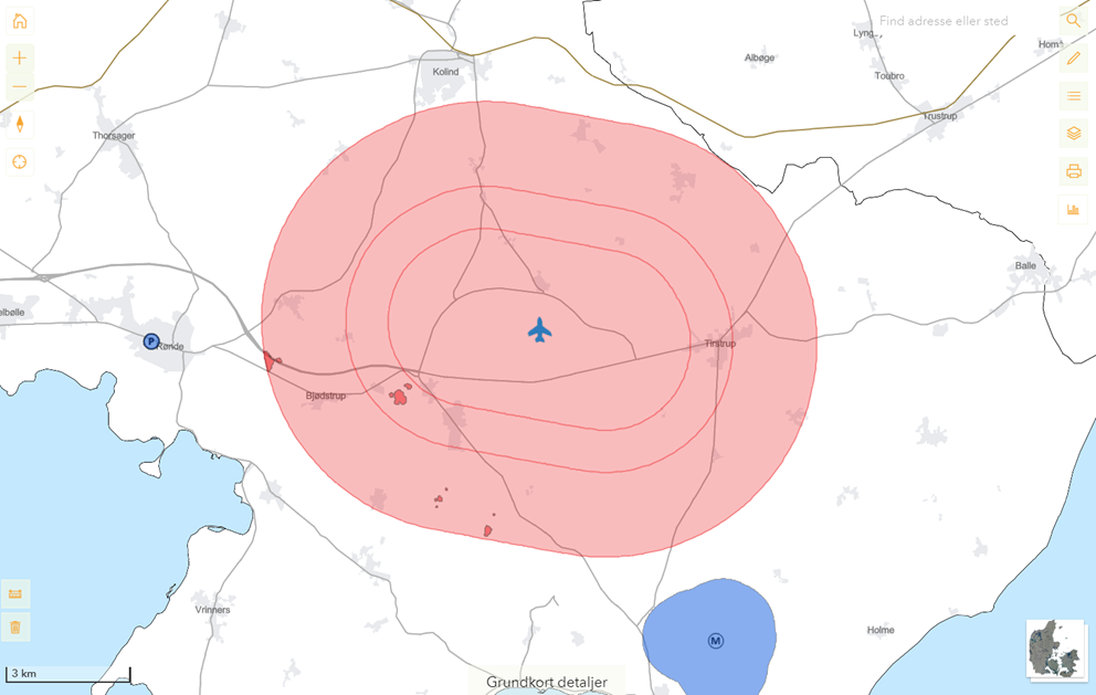
In these zones, drone flying is generally not permitted unless you have obtained permission from the Danish Civil Aviation and Railway Authority through an application. However, there are some exceptions for remote pilots with an A2 competence certificate. You can view the specific conditions for flying in a particular zone by clicking on the zone.
Please Note:
The conditions may vary depending on the geographic location of the zone and where within the zone you plan to fly.
The distance requirements for these areas and the rules for drone operations are set out in § 9 and § 10 of the Order on drones.
Temporary restrictions (NOTAM):
Some red zones on the map are NOTAM-restricted areas, established temporarily based on other legal frameworks than the Order on drones.
Drone operations are prohibited in these zones as long as they are active.
You cannot apply for permission to fly in these zones.
The reason and active period for these restrictions can be found in the information box by clicking on the zone.
See also yellow zones below.